Know the Rules/Fishing Regulations/Marine Managed Areas/Hawai‘i Marine Life Conservation Districts/Wai‘ōpae Tidepools

Hawai‘i - Wai‘ōpae Tidepools Marine Life Conservation District (MLCD)

Style A Carousel
  • Hawai‘i Island — HAR 13‑38
  • Established 2003
  • Covered by lava flow in June 2018

Located on the southeastern coast of Hawai‘i Island, Wai‘ōpae Tidepools (also known as Kapoho Tidepools) once offered one of the island’s most unique coral reef environments before being impacted by lava in 2018. The area is about one hour south of Hilo Airport via:

  • Highway 130 heading south
  • East on Highway 132
  • South on Highway 137 for 1.1 miles
  • Left onto Kapoho Kai Street, following signs to designated parking

MLCD Boundaries

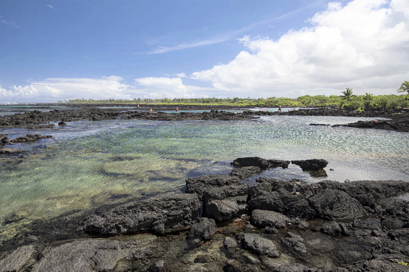
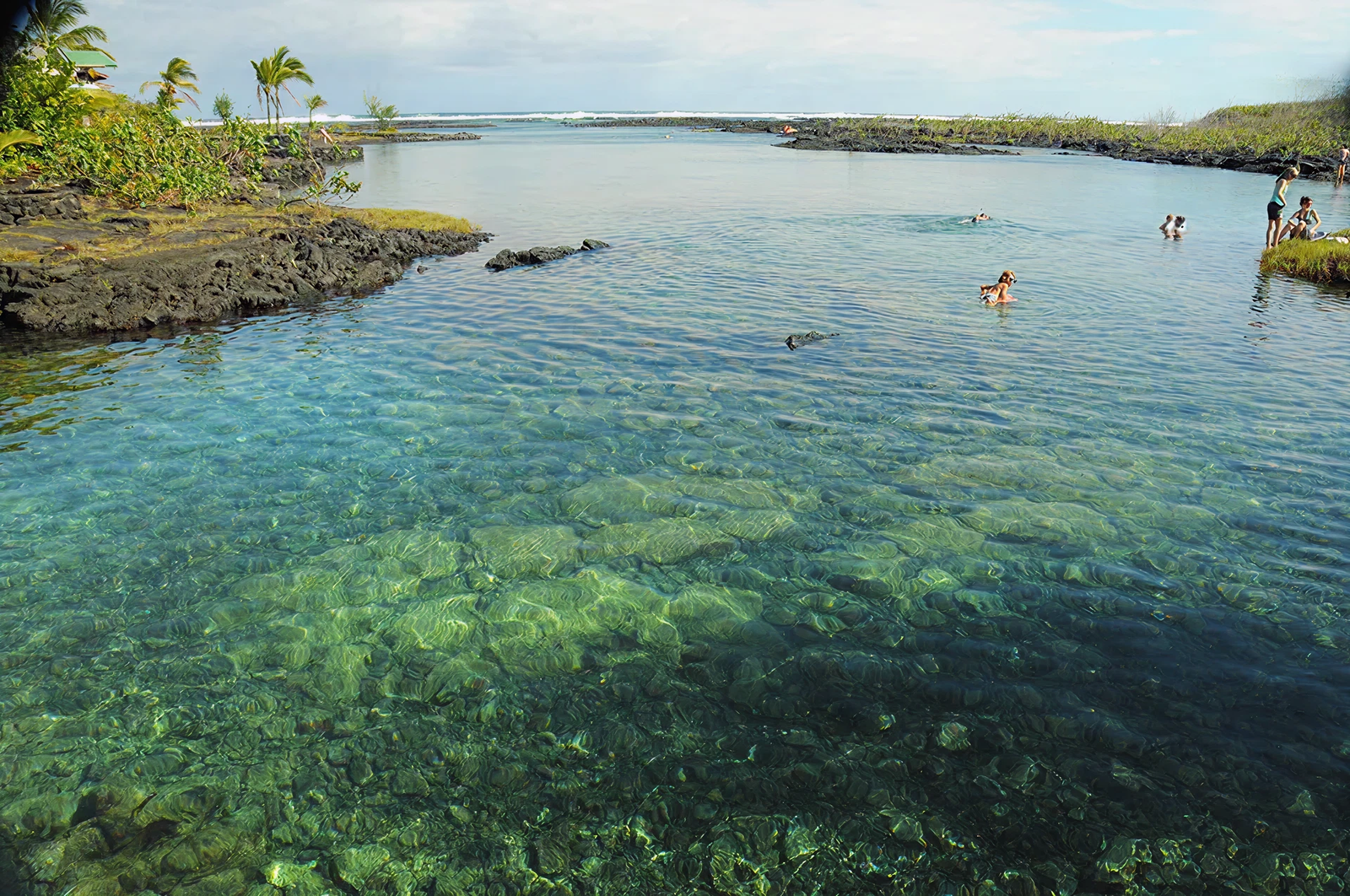
The MLCD sits adjacent to a private community called Vacationland<. Visitors entering before the 2018 lava flow were required to:

  • Follow posted signs
  • Use only designated shoreline access points
  • Respect private property

The district extended from the highwater mark along the shoreline, beginning near the first two‑story beach house north of the parking area and continuing approximately 700 meters south. Boundary signs marked the limits.

Tidepool Environment (Pre‑2018 Lava Flow)

Prior to the 2018 lava event, Wai‘ōpae was known for tidepools that resembled a natural barrier reef system:

Hydrology & Structure

  • A shallow basalt ridge offshore caused waves to break before reaching the inner pools.
  • Despite sheltering, strong tradewind-driven swells provided excellent water circulation, supporting robust coral and fish life.

Marine Life & Coral

Wai‘ōpae was regarded as one of the most biodiverse tidepool ecosystems in Hawai‘i Island:

  • Rich coral growth with high species diversity
  • An unusually abundant juvenile fish population, making the site a critical nursery habitat
  • Corals became more developed as swimmers moved farther seaward
  • Inner and mid‑level tidepools offered the best viewing conditions

Depth & Conditions

  • Maximum depth: about 4 meters
  • Not recommended for SCUBA due to shallow coral structures
  • Kayaking discouraged to protect delicate coral heads
3356df67ab83c69b46f2eb497569f42de6c0f87d

Safety Considerations

  • High surf and strong currents can occur during storms.
  • Rapid tidal changes may create localized strong currents even in calm weather.
  • Visitors were encouraged to avoid entry during stormy conditions.

Facilities

  • None onsite
  • Nearest facilities (including phones) found at Ahalanui Beach Park, approximately 1.5 miles south

Regulations

Permitted Activities

  • Scientific, propagation, or otherwise restricted activities only with a valid permit

Prohibited Activities

  • Fishing for, taking, or injuring any marine life, including eggs
  • Possessing equipment used to take marine life
  • Taking or altering sand, coral, rock, or other geological features
  • Anchoring or mooring any vessel
  • Conducting commercial activities, including:
  • Guided tours
  • Dive groups
  • Snorkel rentals
  • Sightseeing or hiking tours

A video is available showing the area as it appeared prior to the 2018 lava flow.