Know the Rules/Fishing Regulations/Marine Managed Areas/Hawai‘i Marine Life Conservation Districts/Honolua Mokulē‘ia

Maui - Honolua–Mokulē‘ia Marine Life Conservation District (MLCD)

Style A Carousel
  • Maui — HAR 13‑32
  • 45 acres | Established 1978

Located on the northwestern coast of Maui, the Honolua–Mokulē‘ia MLCD encompasses two adjacent bays—Honolua Bay and Mokulē‘ia Bay (known locally as Slaughterhouse Beach). The area lies about 10 miles north of Lahaina along Honoapi‘ilani Highway (Hwy 30). Honolua Bay is the only bay in the area visible directly from the highway, and parking for both sites is located along the roadside.

MLCD Boundaries

The district extends from the highwater mark seaward to a line running:

  • From ‘Alaelae Point
  • To Kalaepiha Point
  • Then to the northwestern corner of Honolua Bay

Both Honolua and Mokulē‘ia lie within this protected zone.

Honolua Bay

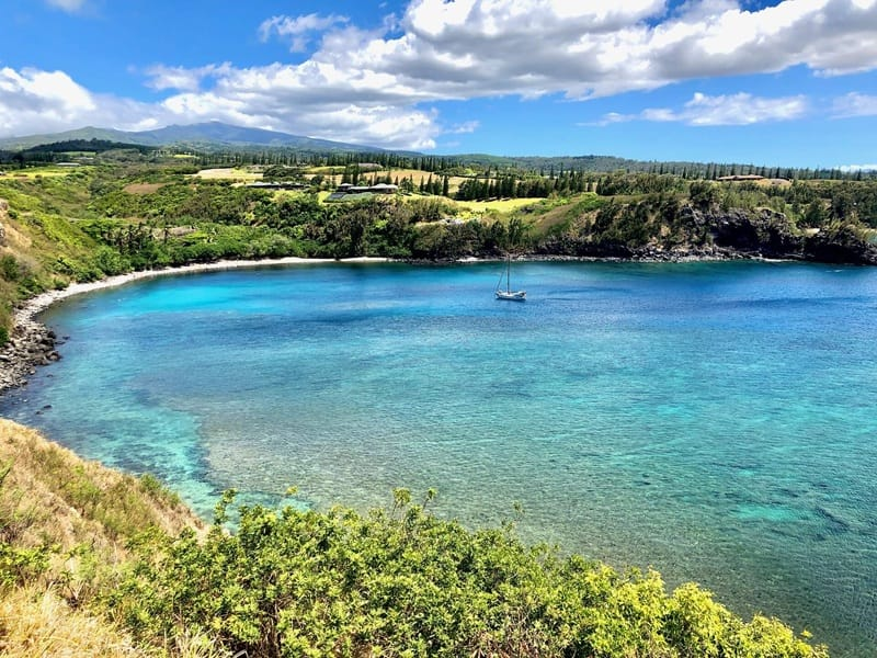
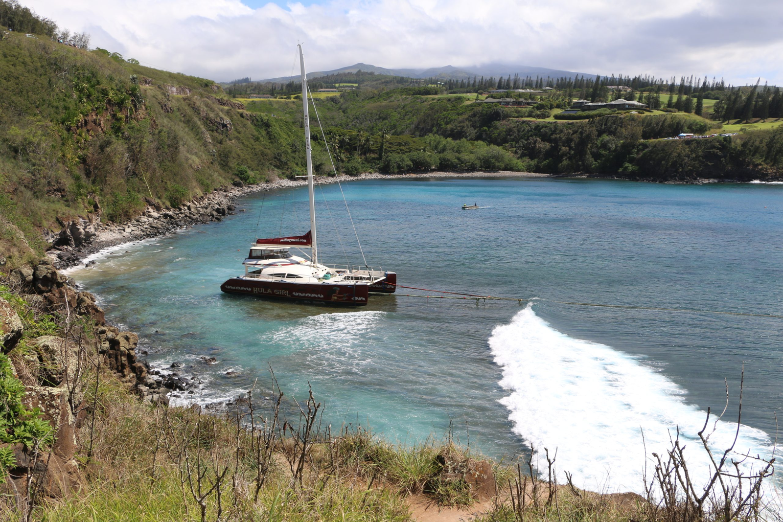
Honolua Stream delivers varying amounts of silt into the bay, often making the inshore waters near the boat ramp murky. The nearshore bottom consists of:

  • Small boulders
  • Silt
  • Gradually sloping sand channel

As you move outward or toward the bay’s sides, visibility improves significantly.

Habitat & Depth

  • The center of the bay features a broad sand channel, sloping to about 60 feet at the bay’s mouth.
  • On both sides of Honolua Bay lie dense coral growths in waters 10–40 feet deep.
  • Coral is especially abundant and diverse along the northeastern shoreline.
  • Small caves and archways can be found near the left point of the bay.

Mokulē‘ia Bay (“Slaughterhouse Beach”)

Situated just southwest of Honolua Bay, Mokulē‘ia Beach is accessible via a stairway down the cliffs. Parking is again available roadside along Hwy 30.

Underwater Features

  • The bay bottom is mostly sand.
  • Large submerged boulders lie off the right point.
  • Lava fingers are present along the left point.
  • Coral grows around both points, making these the prime snorkeling areas.

Depths range from 10 to 50 feet, and in calm conditions it is sometimes possible to snorkel between the two bays.

cdd6cc1967315c4be266737bdfa657932ccf6a4a

Safety Considerations

  • Both bays experience large surf during winter months, often making conditions dangerous.
  • Entering the water is recommended only during calm seas.
  • No lifeguards are stationed at either bay.

Facilities

  • None

Regulations

Permitted Activities

  • Possessing legal fishing gear and fish on a boat, provided they were taken outside the MLCD.
  • Possessing in the water:
  • A knife
  • Shark billy
  • Bang stick
  • Powerhead
  • CO₂ injector
  • With a permit:
  • Bagging and removing akule netted outside the District, as long as nets are moved only over sandy bottom areas
  • Conducting scientific or propagation activities otherwise prohibited by law

Prohibited Activities

  • Fishing for, taking, or injuring any marine life, including eggs—except as allowed above.
  • Possessing any device that may be used to take marine life.
  • Taking or altering sand, coral, rock, or any geological feature, or possessing equipment intended for that purpose.